
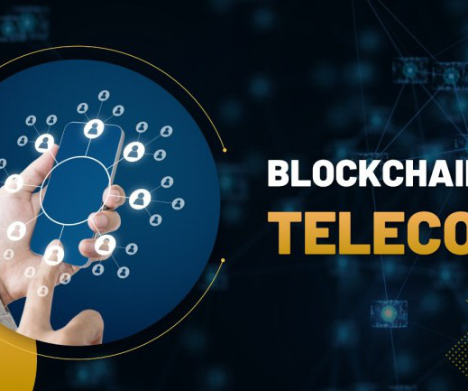
Blockchain in Telecom Market is to Reach $25.2 Billion by 2030
Total Telecom
JULY 10, 2025
Telecom industry is using blockchain technology more and more to strengthen security and enhance identity management. The use of blockchain technology to offer revenue assurance and stop fraud is another noteworthy trend. For telecom businesses, this improves operational efficiency and profitability.


Let's personalize your content